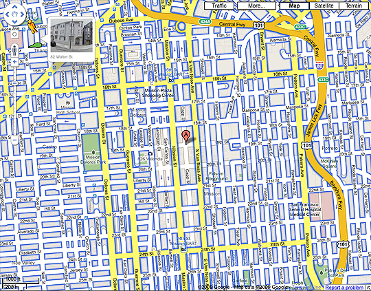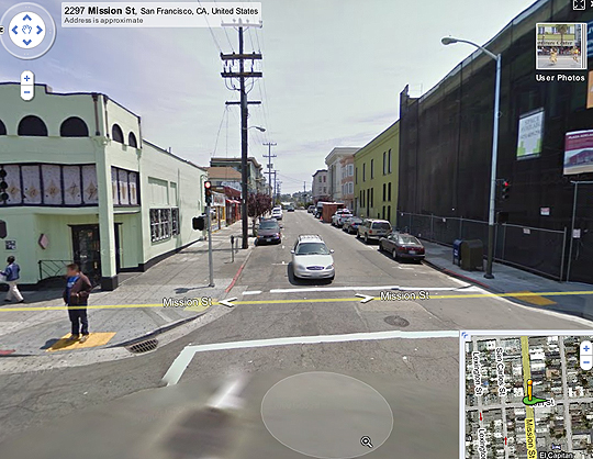
Take a close look at the image above. The blue highlighted streets are the ones covered by Google Street View. “A” marks the approximate location of my house. You’ll notice that a whole range of surrounding blocks are not highlighted, in addition to an adjacent area to the west. Accordingly, if you try to navigoogle off of Mission Street onto 19th Street towards Capp, or Lexington… well, you can’t do that.

Used to be, you could.
Now, I know individuals can request to have their images and their homes removed from the service. And I know that they sometimes block areas close to churches or schools to deny the pervs. But. Under what conditions are entire blocks and sectors removed?
There’s been a few drive-by shootings on my block since I’ve lived here. Was that what did it? Perfectly reasonable, but I’m curious if Google did that on their own, or after being contacted by victims’ families, or if they are working with local police.
Anyone got an answer for me?
UPDATE: I’m assured by someone who works on the SV team that this is a “known bug” and has nothing to do with the “colorful” character of Capp Street. And that it will be fixed soon.
Did Google used to have street view coverage there before they updated the imagery this week?
absolutely!
And that’s why MapJack is so much better than Streetview…
they’ll run into the same issues as google eventually (if they succeed, that is).
I like the whole process of trying to make sense of this–what is essentially a random act. But then, that’s what makes a good story, isn’t it?
Strange, I used to live at the corner of 19th and Capp up until a year ago and remembered you could see it all, too. Hopefully they’ll fix the “known bug” soon, although I don’t reminisce about the all street walkers or violence plaguing that corner.