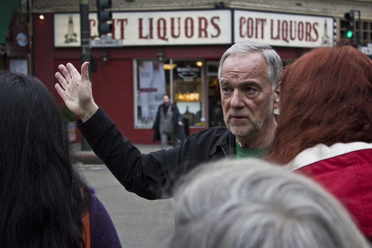
Gianni Mola has been hard at work extending his outreach beyond the online cooking show I’ve helped him produce. He’s done some live demos, and now, he’s doing walking tours of North Beach.
For 90 minutes, he guides folks around the heart of North Beach, telling the culinary story of his “village.” He points out his favorite restaurants, and those with historical influence. He caps it off with a pizza tasting. I might be biased, but trust me, he’s a fantastic guide.
He’s offering a 25% discount off the normal $12.95 rate, so for under 10 bucks you get a tour and food. The next one is this Saturday, but there are only 15 walkers at a time.
If you’re looking for something fun to do this weekend in the nice weather, consider this.
With the mild renaissance of Candlestick Point Recreation Area, you’d think there would be more interest in the conspicuous hill that juts up from the far side of the football stadium. It’s called Bayview Park (or Bayview Hill, alternatively), and it sacrificed its eastern slopes in the 1950s as fill on which to plant the arena.
It has suffered from neglect and harsh urbanization throughout its history, and it it’s barely appreciated even now by San Francisco residents, despite its natural beauty and kickass vistas. But it is getting attention by some for its high diversity of native plant species, including coastal scrub, oak groves, and the largest population of rare Islais cherry trees around.
There are also a number of area and migratory birds that frequent the hill; I spotted a big, fat Horned Owl when I went last weekend.
I also went off-trail a bit and discovered the ruins of a makeshift structure:
I don’t know if it was a kid’s fort or a homeless encampment, but it was cool. I’m not gonna tell you exactly how to find it – because what fun would that be? – but if you decide to go looking, be sure to wear shoes with some tread.
For anyone who claims to be fan of SF’s hilltops, this spot simply must be visited and explored.
“Nothing in the world is more flexible and yielding than water. Yet when it attacks the firm and the strong, none can withstand it, because they have no way to change it.” –Lao Tzu
There’s something about San Francisco’s bodies of water that people just can’t resist. We abuse them, we bury them, we fill them in with rubble and toxins – and then finally when we realize the error of our ways, if we’re lucky we can pull them back from the brink.
Consider Yosemite Creek, a small but crucial part of the city’s watershed. The creek’s entire trip, from McLaren Park to Bayview, takes place in aging underground pipes. But it may not always be that way: the Public Utilities Commission is exploring nifty new ways to “daylight” the creek, ranging from creating new parks to placing watery channels alongside city streets.
The Marsh
Poor McLaren Park. It has a name, but sometimes it seems to lack an identity. Way out in the Excelsior – or is it Portola? – it boasts a head-spinning array of amenities: tennis and basketball courts, a pool, dog run areas galore, barbecue pits and an amphitheater, woodsy trails, and possibly soon a disc-golf course.
But among the Park’s distinguishing features, a spot called Yosemite Marsh may be the most unique. Unlike two nearby asphalt-contained bodies of water – one a reservoir, the other McNab Lake – Yosemite Marsh is a naturally-occurring wetland.
You could be forgiven for walking right by without noticing it. It’s small, and hidden by a thicket of trees. A wooden footbridge crosses through the thicket, spanning a thin gully. Nearby, and for no discernable reason, a concrete sculpture of a dolphin sits across from an always-empty park bench.
At this time of year, the creek is nearly completely dry; but during the rainy season, a steady stream of water emerges from the hillside to feed the marsh. The marsh, in turn, provides habitat to herons, quail, ducks, bullfrogs, lizards, and (thrillingly) wrentits.
Formerly a bit run-down, the Marsh enjoyed an extreme makeover in 2006 [PDF]. The most prominent upgrades are a nice footpath and seating, but there are more infrastructural improvements under the hood: erosion control, enlarged banks, and enhanced wetland plantings, thanks to a $150,000 grant and $150,000 in Rec & Park Department Funds. With riparian rehab projects such as this, it can take five to ten years for plants to mature; the hillside above the marsh still looks a bit scraggly, but you can definitely see where it’s growing in.
Hal Phillips put together this very “electric” edit of footage we shot recently at the marsh:
Of course, the marsh isn’t the only moisture in the area. Various trickles of water can be found throughout the park. (And in fact, I carelessly stepped into one up to my ankle when I visited after a rainstorm.) Why is McLaren so wet? Bedrock. Soil is slow to discharge moisture, so water tends to hang around a bit.
And when the water finally does trickle out of the park, it has quite a trip ahead of it. From McLaren, it winds its way underground past University Mound Reservoir under Portola and the Phillip Burton Academic School, under the 101 and the 3rd Street light rail, and then finally aligning itself with Yosemite Ave – its namesake – before emptying into the South Basin in an area known as Yosemite Slough.
The Slough
The most complicated step in Yosemite Creek’s journey lies at the very end, in Yosemite Slough. It’s a highly sensitive ecological area, decimated by decades of heavy industry. But there’s reason for hope: a massive environmental restoration is underway [PDF], featuring the planting of thousands of native species, soil remediation, and habitat construction.
But it is only hope at this point. As the video below shows, the area is currently an industrial dumping area. (The song is “33” by David Molina’s Ghosts and Strings.)
It’s not exactly an easy spot to access, and lord knows it’s toxic in several different ways; we’ve done the exploring so you don’t have to.
The Slough is part of Candlestick Point State Recreation Area, which in general is well worth a visit. Don’t let the unseemly history scare you off. Yes, legend has it that it got its name because of all the burning abandoned ships nearby. And yes, for years it was used as a landfill. Okay, and the Navy didn’t exactly take great care of it during WWII.
But! You can’t beat that view. And apparently the birds agree: there’s no better place in San Francisco for spotting herons, loons, egrets, and avocet than nearby Heron’s Head Park. Environmental cleanup – much of it led by students – is gradually turning the area from a garbade dump to prime real estate.
With Yosemite Marsh stronger than ever, Yosemite Slough on the mend, and Yosemite Creek facing a new lease on life, there’s never been a better time to thank San Francisco’s watershed for sticking with us through thick and thin.
Matt Baume is a San Francisco writer and photographer covering transit, ecology, and the science of cities.
Last Sunday I took my first steps out of the birder closet. I don’t know where this leads, but I seem to have entered into a vibrant community with a love of bold colors and exaggerated mating behaviors. And, of course, they love to watch. More after the jump… Continue reading The Birds of Mount Davidson
The category that is closest to the stated mission of this blog has only nine items in it after six months. That seems a little bit thin. My bad.
A big reason for doing this blog is to compel me to explore, physically, the parts of the city that I don’t know, or don’t know well enough, after living here nearly 14 years. (I know, I mouth off like I’m a native.) I had a great time investigating these few areas, so I’m going to try to increase the rate of items like these:
Muwekma Ohlone Park and Wildlife Sanctuary: Water has become a pretty steady obsession of mine after learning the tragic details of this spot; but there is, according to an update made just today, some hope for its future.
Lobos Creek & Mountain Lake: Funny how even the smallest of free-flowing waterways can seem so meaningful in an urban environment.
Precita Creek: A great case of a well-known iconic landmark, Twin Peaks, and what little I knew of it.
The Spitfire Rose: OK, one more resolution: to explore/discover more bars. Long Live the SU Corps of Urban Drunkards!
Mount Sutro: I was pretty jazzed about finally getting to the top of this hill and seeing the open space there. On the way down I wondered if this was in any way “unknown” to anyone but me, but then I ran into a friend and long-time resident who was jogging through the Panhandle, and mentioned where I’d been. He’d never been up there, either.
Hillapalooza: This redeems me a little bit, since it hit 14 spots at once. A great day in the city.
Dorothy Erskine Park: I especially enjoy finding a spot after being somewhere, pointing off to the distance, and saying, “what’s that over there?” And then going there. This was one of those.
O’Shaughnessy Hollow: Don’t even pretend you know what this is. You may have seen the spot, or even been there, but if you try to claim you knew the name, YOU LIE! (Also, why are you people so unresponsive to coyote posts?)
Edgehill Mountain: I first spotted this on a topo map, unlabeled of course. Turned out to be quite a specimen of the sort of city fight that can only happen in San Francisco.
It’s wedged between Mount Davidson and Forest Hill, and it offers some amazing vistas and a thriving natural area, but you won’t find Edgehill Mountain or its open space labeled on any official maps. Yet.
Because it’s San Francisco, there is of course an epic clash between good and evil unfolding on this obscure, scenic bump in the topography. Land developers vs. stewards, citizens vs. city officials, native vs. invasive plants – and stuck in the middle, a humble little hillside that just wants to be who it was meant to be.
Large homes – many of them owned by Italian land magnate Angelo Sangiacomo – are densely-packed right up to the summit, but the south side is too steep. This fact was demonstrated several times in the past when large portions of the hill turned to mud and slid away. In the ’50s a house was taken out entirely, and in 1997 mud crashed into some unfinished homes.
The city refuses to maintain Edgehill Way, the single-lane road that circles the crest. A patchwork of filled potholes and an abundance of foliage make it feel like a country road in the middle of the city. The lookout facing south at Mount Davidson is quite special:
On a clear day you can see the ocean from the park.
Edgehill is easily accessible from the Forest Hill and West Portal Muni stations. Check the Spots Map for exact location, and then visit. Go on a second Saturday for a work party and help local resident Stan Kaufman, president of the Friends of Edgehill Mountain Park, and Randy Zebell of SF Rec & Parks fight the good fight against non-native weeds.
Ralph Montana was referring to people who let their dogs run off-leash in San Francisco’s coyote zones. I’m pretty sure he was joking. (More after the jump…) Continue reading Let’s Vex Us Some Coyotes!
If you’ve ever walked up Bosworth from the Glen Park BART station, you’ve probably glanced at the little cliffside pictured above. You see that strip of greenery on top? It marks the edge of one of the city’s lesser-known parks, named after an early advocate of open urban spaces.
The number one reason to peel off on your way to Glen Canyon Park, or slip over from the Sunnyside Conservatory and visit this little perch is for the South-facing view at the top amidst the charming miniature forest.
Coming in a close second, is bragging rights. I guarantee less than one percent of your local friends have ever heard of it. (My friend Steve gave me his Erskine “virginity” there on Saturday, and he lives just a few streets over.)
If you’ve got half a day some weekend or holiday, and you like a moderately challenging hike, this easily-accessed, 4.5-mile route with a 900 ft. elevation means you don’t have to leave the city of San Francisco. Details after the jump… Continue reading Hillapalooza – an Urban Hike
I don’t usually have a need for a telephoto lens, but on Saturday while hiking across some of San Francisco’s biggest hilltops, I spotted a coyote in a park. It made me think more seriously about moving beyond my digital point and shoot camera, to SLR, with at least one good telephoto lens.
So, with tax refund season upon us, I guess I’m in the market for a <$1k rig. I've been looking at the Canon T1i and the Nikon D5000. Anyone have opinions on one or both of these? Are there other competitors in this class I should be tracking? Let me have it in the comments.
I guess I’ve been a little behind in the city’s coyote news. I know of its presence in the Presidio, Golden Gate Park, Glen Park, and Bernal Hill, sometimes with lethal consequences. But until my girlfriend gave me a small self-printed booklet from (of course) Dog Eared Books, I was unaware that there was a coyote on Twin Peaks.
Aside from the author’s account, I’ve been unable to find any mention of this urban canine carnivore. Have you seen it? Can you point to any online resources about it? I hope it has fared better than some of the others.
And, if you get a chance, don’t miss the KQED special, “Wild at Heart,” about SF’s urban wildlife. Here’s a trailer from a derivative DVD:
At first I was a little ashamed that I’d never been in the forest on Mount Sutro, officially known as the Mount Sutro Open Space Reserve, even after living in the city for almost 14 years. But, after asking around, I discovered most of my long-time-resident friends haven’t been there either. So now it’s their turn to feel ashamed. (More after the jump.) Continue reading Mount Sutro Open Space Reserve
Make no mistake: Artist and self-styled “greenbelt steward” Amber Hasselbring, pictured above (pointing) along with her field-guide-clutching partner in crime (and fellow artist), Iris Clearwater, is just as enthusiastic inspecting manhole covers like the one next to her, as she is identifying a native butterfly or monkey flower. More after the jump… Continue reading The Stewardship of Precita Creek
UPDATE 4/14/2010: Via Matt Baume, from StreetsBlog:
The PUC … proposes to terminate the creek in a manufactured wetland at the western end of Islais Creek Channel. The area is currently an asphalt lot just down the street from the headquarters of Mythbusters, used occasionally to store vehicles.
This would be a fantastic and appropriate honor for this spot. (And there is still more than just asphalt here!)
Once upon a time in 2001, there was a tiny plot of shoreline, Muwekma Ohlone Park and Wildlife Sanctuary, named after the native people who once populated the San Francisco peninsula. Guerrilla gardeners had, for years, nurtured this vestige of unlikely marshland amidst the industrial zone near Hunters Point.


![The Birds of Mount Davidson [photo by Jerry Liguori]](http://spotsunknown.com/wp-content/uploads/2010/04/SharpShinned-Jerry-Liguori.jpg "The Birds of Mount Davidson [photo by Jerry Liguori]")


