Blog

Google Street View Blackout

street_view

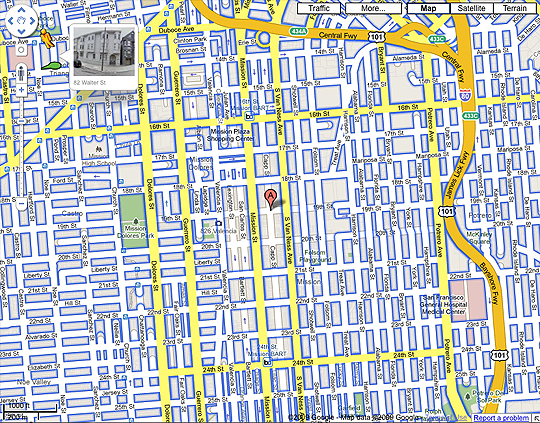
Take a close look at the image above. The blue highlighted streets are the ones covered by Google Street View. “A” marks the approximate location of my house. You’ll notice that a whole range of surrounding blocks are not highlighted, in addition to an adjacent area to the west. Accordingly, if you try to navigoogle off of Mission Street onto 19th Street towards Capp, or Lexington… well, you can’t do that.
Continue reading Google Street View Blackout
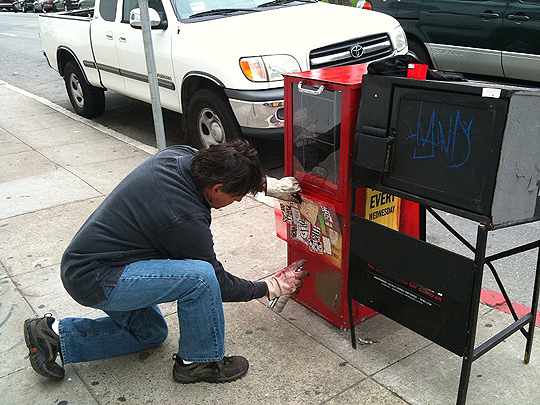
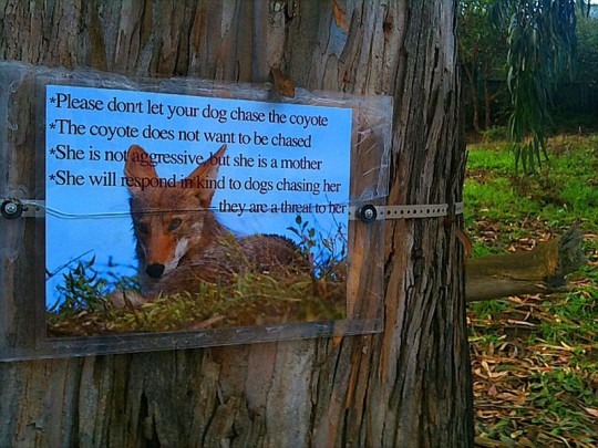
Dolores Park: Refugee Camp

Tam Tran is awesome.

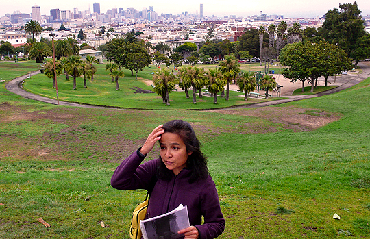
Today I took advantage of the fantastic free walking tour organization, SF City Guides. It’s officially a part of the Public Library (the guides are all volunteers) and has an interesting history of its own. I decided to take as my inaugural tour one that covers my neighborhood.

More details and photos after the jump…
Continue reading Dolores Park: Refugee Camp

The Attempted Homicide of a Sanctuary

Photo by David Erickson

UPDATE 4/14/2010: Via Matt Baume, from StreetsBlog:

The PUC … proposes to terminate the creek in a manufactured wetland at the western end of Islais Creek Channel. The area is currently an asphalt lot just down the street from the headquarters of Mythbusters, used occasionally to store vehicles.

This would be a fantastic and appropriate honor for this spot. (And there is still more than just asphalt here!)

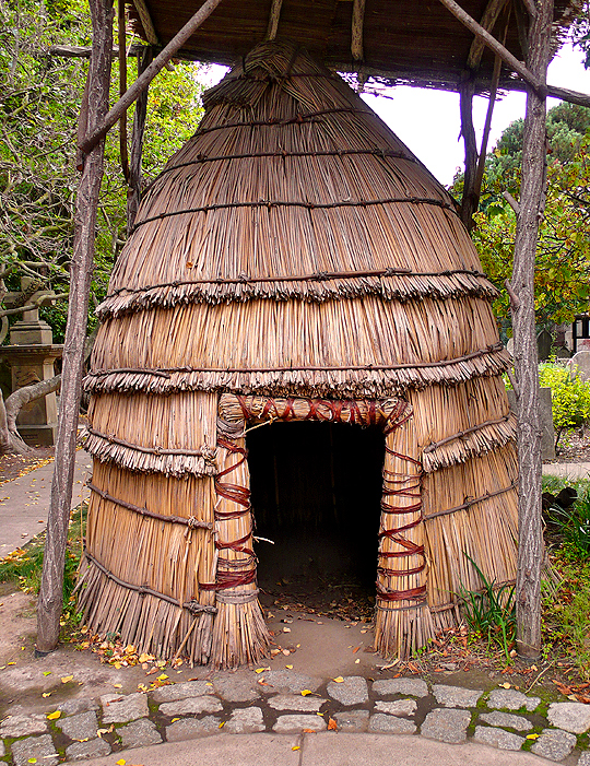
Once upon a time in 2001, there was a tiny plot of shoreline, Muwekma Ohlone Park and Wildlife Sanctuary, named after the native people who once populated the San Francisco peninsula. Guerrilla gardeners had, for years, nurtured this vestige of unlikely marshland amidst the industrial zone near Hunters Point.

More after the jump…
Continue reading The Attempted Homicide of a Sanctuary