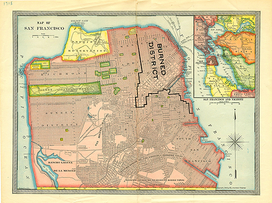
This map (courtesy, Prelinger Library) is a good way to visualize how much of the city burned after the earthquake/fire of 1906. It of course led to the building of refugee camps around the city, including in Mission (now “Dolores”) Park.
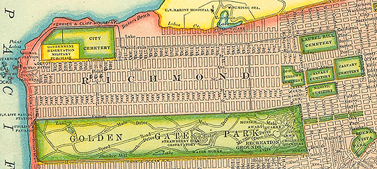
Here’s a blow-up of the cemetery locations:

