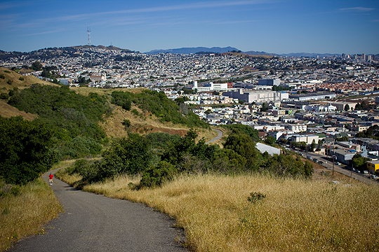
I Want to Go to There: Bayview Park

Bayview Park, Sutro Tower, San Francisco

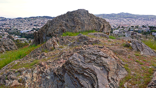
With the mild renaissance of Candlestick Point Recreation Area, you’d think there would be more interest in the conspicuous hill that juts up from the far side of the football stadium. It’s called Bayview Park (or Bayview Hill, alternatively), and it sacrificed its eastern slopes in the 1950s as fill on which to plant the arena.

It has suffered from neglect and harsh urbanization throughout its history, and it it’s barely appreciated even now by San Francisco residents, despite its natural beauty and kickass vistas. But it is getting attention by some for its high diversity of native plant species, including coastal scrub, oak groves, and the largest population of rare Islais cherry trees around.
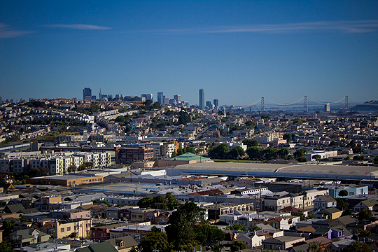
Bayview Park, Cityscape, San Francisco

There are also a number of area and migratory birds that frequent the hill; I spotted a big, fat Horned Owl when I went last weekend.

I also went off-trail a bit and discovered the ruins of a makeshift structure:
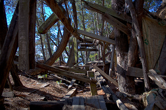
Bayview Park, Fort Ruins, San Francisco

I don’t know if it was a kid’s fort or a homeless encampment, but it was cool. I’m not gonna tell you exactly how to find it – because what fun would that be? – but if you decide to go looking, be sure to wear shoes with some tread.

For anyone who claims to be fan of SF’s hilltops, this spot simply must be visited and explored.


View Spots Unknown Map in a larger map

The Birds of Mount Davidson

The Birds of Mount Davidson [photo by Jerry Liguori]
Sharp shinned hawk; photo by Jerry Liguori

Last Sunday I took my first steps out of the birder closet. I don’t know where this leads, but I seem to have entered into a vibrant community with a love of bold colors and exaggerated mating behaviors. And, of course, they love to watch. More after the jump…
Continue reading The Birds of Mount Davidson

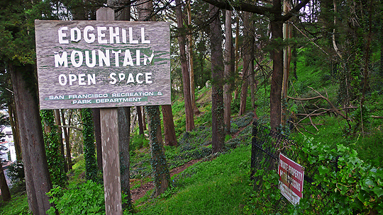
The Battle for Edgehill Mountain

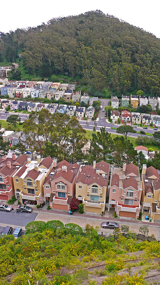
Edgehill Mountain, San Francisco

It’s wedged between Mount Davidson and Forest Hill, and it offers some amazing vistas and a thriving natural area, but you won’t find Edgehill Mountain or its open space labeled on any official maps. Yet.

Because it’s San Francisco, there is of course an epic clash between good and evil unfolding on this obscure, scenic bump in the topography. Land developers vs. stewards, citizens vs. city officials, native vs. invasive plants – and stuck in the middle, a humble little hillside that just wants to be who it was meant to be.

Large homes – many of them owned by Italian land magnate Angelo Sangiacomo – are densely-packed right up to the summit, but the south side is too steep. This fact was demonstrated several times in the past when large portions of the hill turned to mud and slid away. In the ’50s a house was taken out entirely, and in 1997 mud crashed into some unfinished homes.

The city refuses to maintain Edgehill Way, the single-lane road that circles the crest. A patchwork of filled potholes and an abundance of foliage make it feel like a country road in the middle of the city. The lookout facing south at Mount Davidson is quite special:

Edgehill Mountain Lookout, San Francisco

On a clear day you can see the ocean from the park.

Edgehill is easily accessible from the Forest Hill and West Portal Muni stations. Check the Spots Map for exact location, and then visit. Go on a second Saturday for a work party and help local resident Stan Kaufman, president of the Friends of Edgehill Mountain Park, and Randy Zebell of SF Rec & Parks fight the good fight against non-native weeds.

The Stewardship of Precita Creek

guides

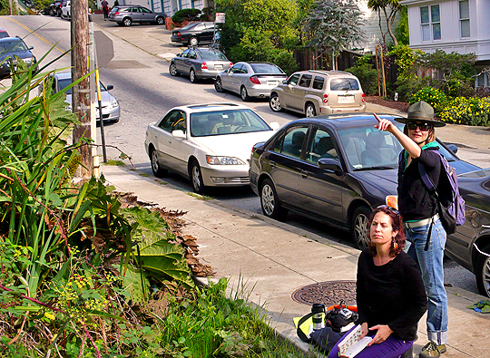
Make no mistake: Artist and self-styled “greenbelt steward” Amber Hasselbring, pictured above (pointing) along with her field-guide-clutching partner in crime (and fellow artist), Iris Clearwater, is just as enthusiastic inspecting manhole covers like the one next to her, as she is identifying a native butterfly or monkey flower. More after the jump…
Continue reading The Stewardship of Precita Creek